Description
This R-package contains functions for mapping and scaling displacements of earth-surface processes (e.g. creep) from registration of digital elevation models using the BUnwarpJ plugin in ImageJ/Fiji. These functions were developed for the following paper:
Goetz, J., Fieguth, P., Kasiri, K., Bodin, X., Marcer, M., & Brenning, A. (2019). Accounting for permafrost creep in high-resolution snow depth mapping by modelling sub-snow ground deformation. Remote Sensing of Environment, 231, 111275. https://doi.org/10.1016/j.rse.2019.111275
Installation
You can install this development version of map.displ.r with:
devtools::install_github("jngtz/map.displ.r")
Examples
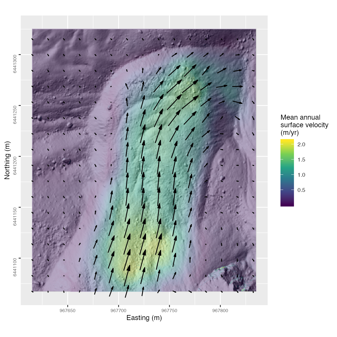
Using R to visualize mean annual rock glacier surface velocity from BUnwarpJ